Creating a map to show where Kabul is
The map in this video could have been done completely in QGIS. But by exporting the map as a PDF and bringing it into Affinity Designer, which I do around minute 24, I can show how the editing can continue in a graphics program.
So the workflow is:
- Load data into QGIS
- Select, project and stylize data
- Set Print Layout
- Export
- Create new Affinity Designer doc
- Place PDF into Designer
- Select, group and stylize features and text
Honestly, I do my professional work in MAPublisher and Adobe Creative Cloud because this allows me maximum control over what I want to communicate and the ability to import new data directly where I need it. But it’s good to try multiple methods to get to your goal.
Feel free to ask questions.
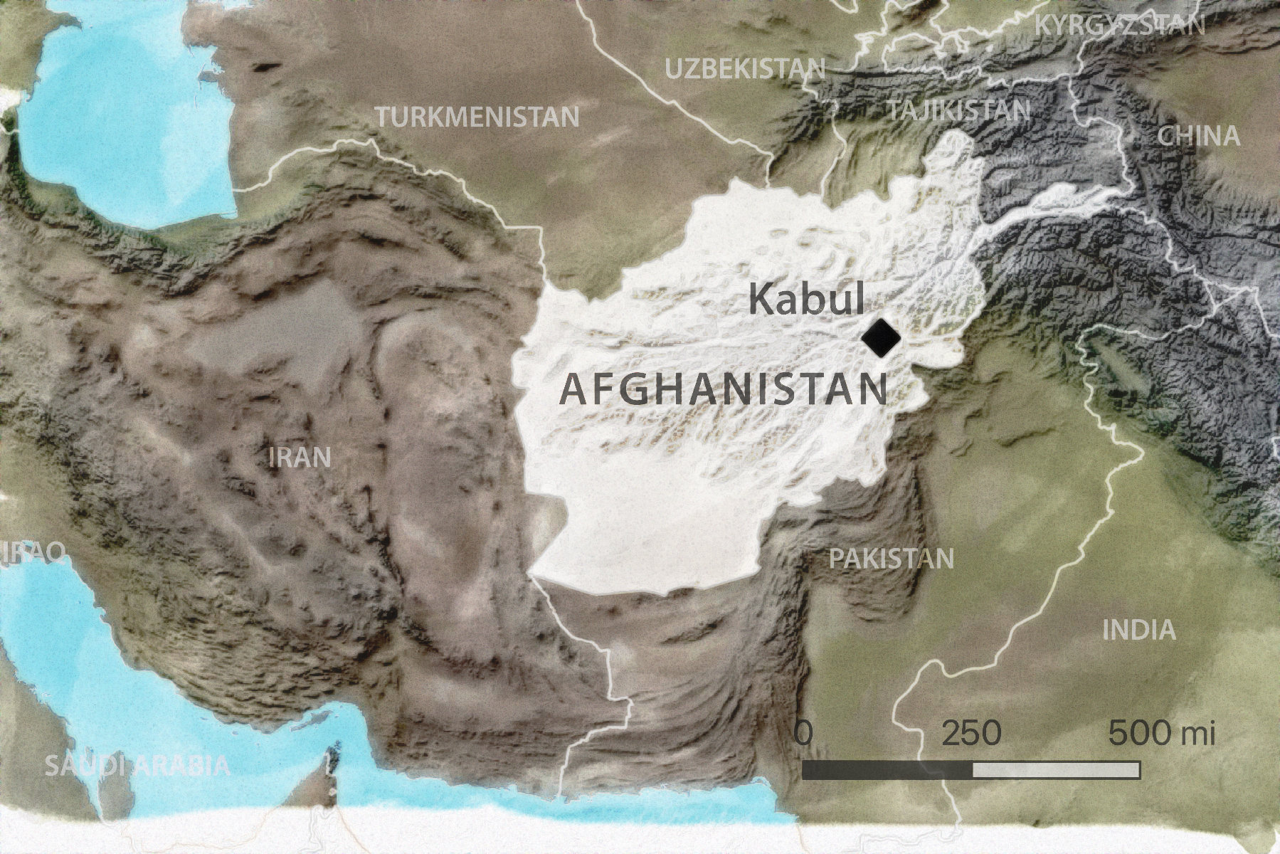
Here’s what the map might look like as directly exported from QGIS.
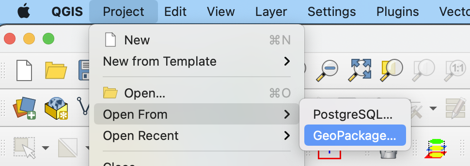
Here is a zipped gpkg of the project. To use, create a new gpkg in the QGIS Data Source Manager. Then, open from Project – Open From – GeoPackage.
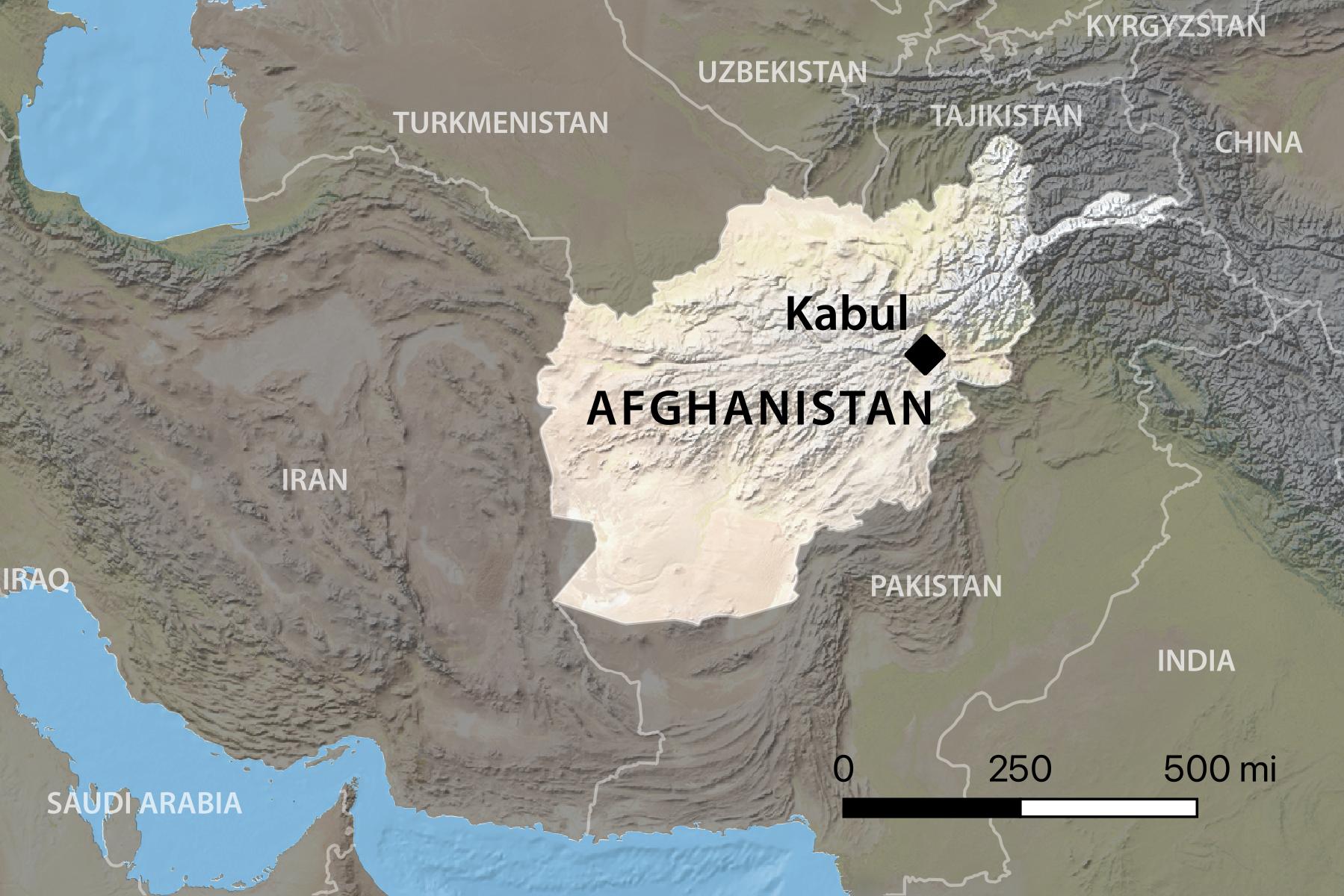
Finally, here’s the map that I brought into Affinity Photo and tweaked.